


Who We Are
About AgriSpatial
A future where farmers across Tanzania use geospatial intelligence to reduce production risks, stabilize yields and strengthen national food security through sustainable agriculture.
Our Focus Areas
What we do and how we're transforming agriculture
About AgriSpatial
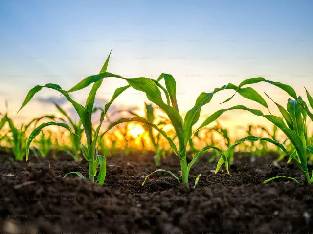
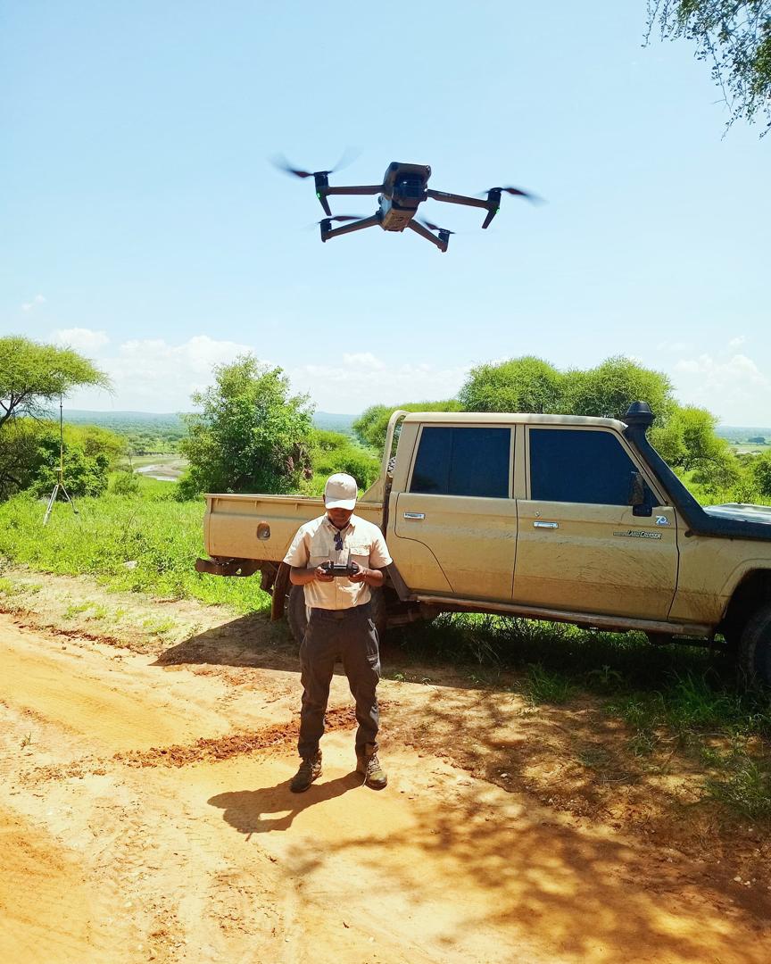
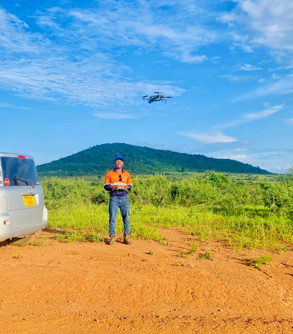
AgriSpatial is a geospatial agri-tech company providing satellite intelligence, drone surveys and precision GIS to help farmers reduce risks, lower costs and build climate resilience.
Our Mission
To empower farmers by providing geospatial intelligence that improves resource efficiency, lowers input costs and strengthens climate-resilient agriculture.
Our Vision
A future where farmers across Tanzania use geospatial intelligence to reduce production risks, stabilize yields and strengthen national food security through sustainable agriculture.
How We Work
By integrating remote sensing and GIS, AgriSpatial empowers farmers with actionable insights to boost productivity, use resources more efficiently, reduce operational costs and build resilience against climate change. From data collection and analysis to continuous monitoring and tailored recommendations, we offer complete geospatial solutions for modern, climate-resilient agriculture.
Why Choose AgriSpatial
The advantages that set us apart
Data-Driven Insights
Leveraging satellite and aerial imagery to provide real-time crop monitoring, health assessment and climate analysis.
Expert Partnerships
Collaborating with agronomic experts, academic institutions, and government agencies for personalized solutions.
Sustainability Focus
Helping farmers adopt climate-resilient practices that protect the environment while improving productivity.